New Hampshire's Seacoast isn't known for its size (~17 miles of Atlantic coastline). It is known, however, for its vibrant surfing and kayaking communities, its real working waterfronts and Naval Shipyard, and its tight-knit, historic, New England towns. It's these valuable assets, among others, that I've been working to better understand and protect over the past 16 months as a NOAA Coastal Management Fellow with the New Hampshire Coastal Program.
 |
| A fall day at the beach in Rye, NH |
A lot of my time has been spent working with the NH Coastal Adaptation Workgroup (CAW)--a partnership of 20 organizations all focused on helping communities prepare for the impacts of climate change. This group rocks. Their approach is incredibly effective--they translate the science for community decision-makers (read: board of selectmen, town planners, zoning boards, planning boards, conservation commission members) and facilitate workshops to help others make plans to prepare. It's the first effort I've come across that takes the time to understand what communities really need and designs ways to meet those needs. In addition to an effective approach, CAW members are energetic, driven, and funny. For a little more insight into their work, here's CAW's web page and blog: nhblog.stormsmart.org.
 |
| Photo by Ron Sher taken in Hampton, NH. Winner of the 2014 Gulf of Maine King Tides Photo Competition. |
Managing a Shoreline for Change
Aside from 'resilience', one of the hottest topics/terms in coastal management right now is 'living shorelines' (or green shorelines, or soft shorelines, or whatever synonym you like). As sea levels rise and coastal storms intensify with climate change, natural resource managers are incredibly interested in finding ways to protect communities from flooding and erosion while also preserving habitat and ecosystem function. You've likely seen some living shoreline designs coming out of New York City in the wake of Hurricane Sandy. That's the idea. Use oyster reefs and dunes and salt marshes in the place of or in concert with harder, more traditional shoreline management structures like seawalls and revetments. Help communities learn to 'live with water' by raising homes or retreating rather than keeping the water out with flood gates.
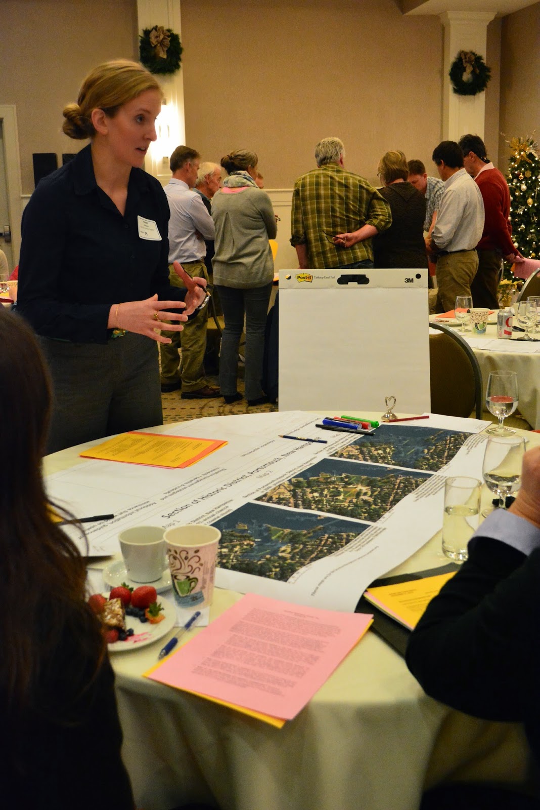
CAW, the NH Coastal Program, and the Great Bay National Estuarine Research Reserve wanted to start a dialogue about these emerging and innovative shorelines management strategies, so we organized a conference last month to do just that. I was on a team that designed the agenda, identified speakers, and made some maps showing predicted sea-level rise in vulnerable NH Seacoast locations for an interactive exercise. With over 100 participants, the conference was a success, and I'm looking forward to working on some of the next steps we identified to keep the conversation moving. One of the first steps is to create a high resolution inventory of the NH shoreline--not just the 17 Atlantic coast miles, but also the 200+ miles of estuarine shorelines in the Great Bay and Hampton-Seabrook estuaries. We need a detailed understanding of what's there now before we can think about which shorelines strategies might work and where.
 |
| Facilitating an activity at the NH Shoreline Management Conference |
What is the value of it all?
And finally, my fellowship project. What an interesting, challenging, and rewarding experience it's been so far. I'm managing an integrated assessment of the ecosystem services in the Great Bay estuary. We have a project team of five people and an Advisory Committee of 20+ folks. Together, we have run an initial model to evaluate habitat risk of eelgrass, oysters, and salt marsh today.
 |
| Counting oyster spat at the UNH Jackson Estuarine Lab |
 |
| A salt marsh in Great Bay, NH |
Best of luck if you're applying for a fellowship! Feel free to shoot me an email if you have any questions about my experience or the application process (kirstenbhoward at gmail dot com).

No comments:
Post a Comment